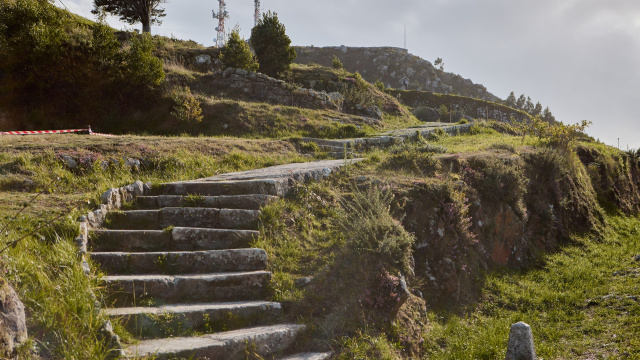
PR-G122 Footpaths of the Trega
This signposted route brings together the paths of Mount Santa Trega that has been recovered and that allows you to explore the mountain widely.
This network of paved roads and recovered trails allows you to get to know the mountain in more detail and the panoramic views it offers of the Estuary and mouth of the Miño, Portugal, the Atlantic coast and the O Rosal valley. There are three alternatives to ascend the mountain: from the town center, from Camposancos or from the A Cruzada neighborhood. There are a total of seven paths linked together to complete a total distance of just over 7 km.
PR-G122 Footpaths of the Trega
This signposted route brings together the paths of Mount Santa Trega that has been recovered and that allows you to explore the mountain widely.
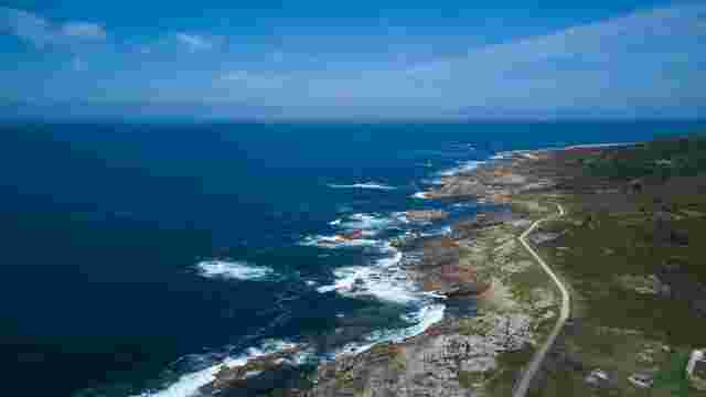
Blue path
El Sendero azul une las playas de O Muíño y de Area Grande lo que supone casi toda la costa atlántica de A Guarda cruzando el puerto pesquero.
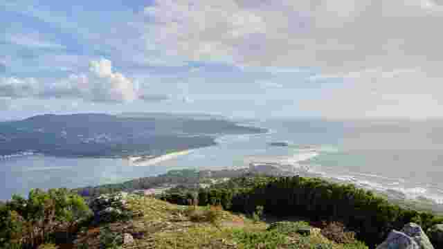
PR-G160 Miño River mouth Route
It is a linear route of 7 km in its main route allows you to know the natural values from the estuary, the mouth of the Miño to the Atlantic coast.
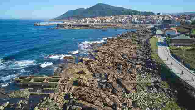
Cetarea (shellfish nurseries) route
Las cetáreas son viveros, antiguas construcciones en piedra en el margen intermareal para mantener el marisco vivo para su posterior venta.
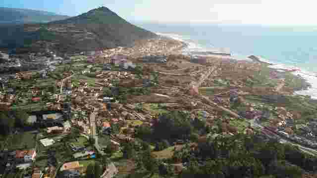
Tour of Mount Torroso
Su ubicación permite disfrutar de las visitas privilegiadas a la inmensidad del océano, al casco urbano, al Monte Santa Trega y a una parte del río Miño
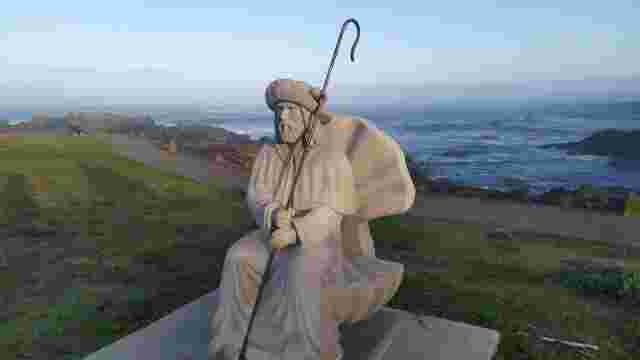
The Portuguese Way of the coast - Saint James´Way route through A Guarda
A Guarda is the first Galician municipality on the Portuguese Coastal Way and pilgrims enjoy the different landscapes along its 9 km route.