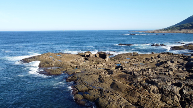
The Blue Trail
El Sendero azul une las playas de O Muíño y de Area Grande lo que supone casi toda la costa Atlántica de A Guarda cruzando el puerto pesquero.

Cetarea of "O Portiño"
A few meters from the northern dock and the Sea Museum is this shellfish nursery that preserves part of the walls.
A few meters from the north dock and the Sea Museum is this shellfish nursery that preserves part of the walls.

O Muíño Beach
River beach at the mouth of the Miño with spectacular views and surrounded by a pine forest and paths.

Resting area of O Puntal
This area is located at the mouth of the Miño after overcoming the pine forest. Exceptional place to observe storms and stars.

Rupestrian Saltworks
In several locations at the mouth of the Miño there are rock saltworks, which were stones with hollows to obtain sea salt in small quantities.

Roman coastal saltworks of O Seixal
On the coastal path, 1.50 km south of the port, these salt mines from Roman times are located, in operation when the Castro de Santa Trega was still inhabited.

Cetarea of "A Grelo"
It is 500 meters south of the port, identified with an interpretive table. The walls perpendicular to the coast are easily observed at low tide.

Marine storms
The coast stands out for the bravery of the storms that marked generations of sailors and their families. It is common for the waves to exceed the dikes.

O Carreiro Beach
Maritime beach outside the fishing port and where the coastal paths passes.

Museum of the sea
The history of A Guarda has always been linked to the sea and fishing. Thanks to a visit to the sea museum, you can learn about the essence and particulariti...

Cetarea of "O Portiño"
A few meters from the northern dock and the Sea Museum is this shellfish nursery that preserves part of the walls.

Fedorento Beach
Maritime beach less than 1 km from the fishing port and with a family audience.

Area Grande Beach
Maritime beach 1.50 km from the fishing port, very familiar with services such as shower and toilet.